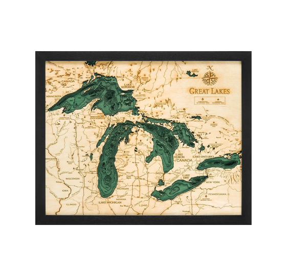
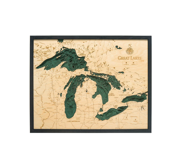
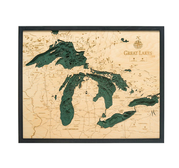
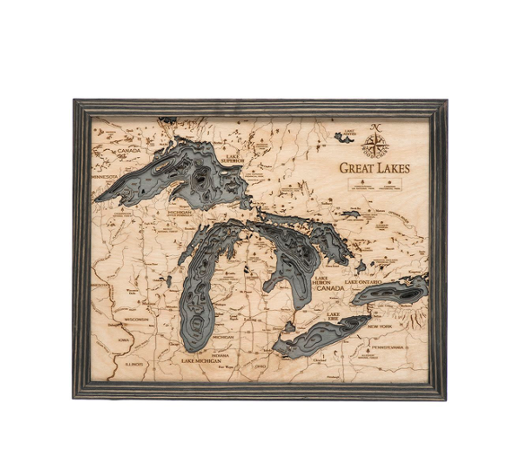
The Great Lakes are an interconnected group of freshwater lakes that connect the Atlantic Ocean to the Saint Lawrence River. They are the largest freshwater lakes on Earth, with roughly 21% of the world’s surface freshwater by volume. The area features many ocean-like qualities, earning it the nickname the inland seas.
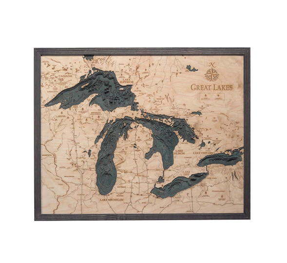
Our Great Lakes 3D Nautical Wood Chart showcases the beauty of the floor of the lakes and the surrounding area. An artist laser cuts pieces of Baltic birch and expertly glues them together, creating the incredible depth and dimension our lake art is known for. Each topographical map features hand-stained water accents with laser-etched points of interest and a custom size solid wood frame.
Show off your love of the Great Lakes with this incredible topographical wood lake.
| Dimensions: | Small 16" x 20" | Large 24.5" x 31" |
| Material: | Baltic Birch wood & Plexiglass |
| Features: | 3D underwater topographic map (bathymetric chart) | Layered laser cut natural Baltic Birch wood | Carved relief of nautical terrain | Wooden chart work of art that will enhance any décor | Locations etched & highlighted with special technique | Color may |
| Care: | Damp cloth wipe, do not use chemicals or detergents |